Description
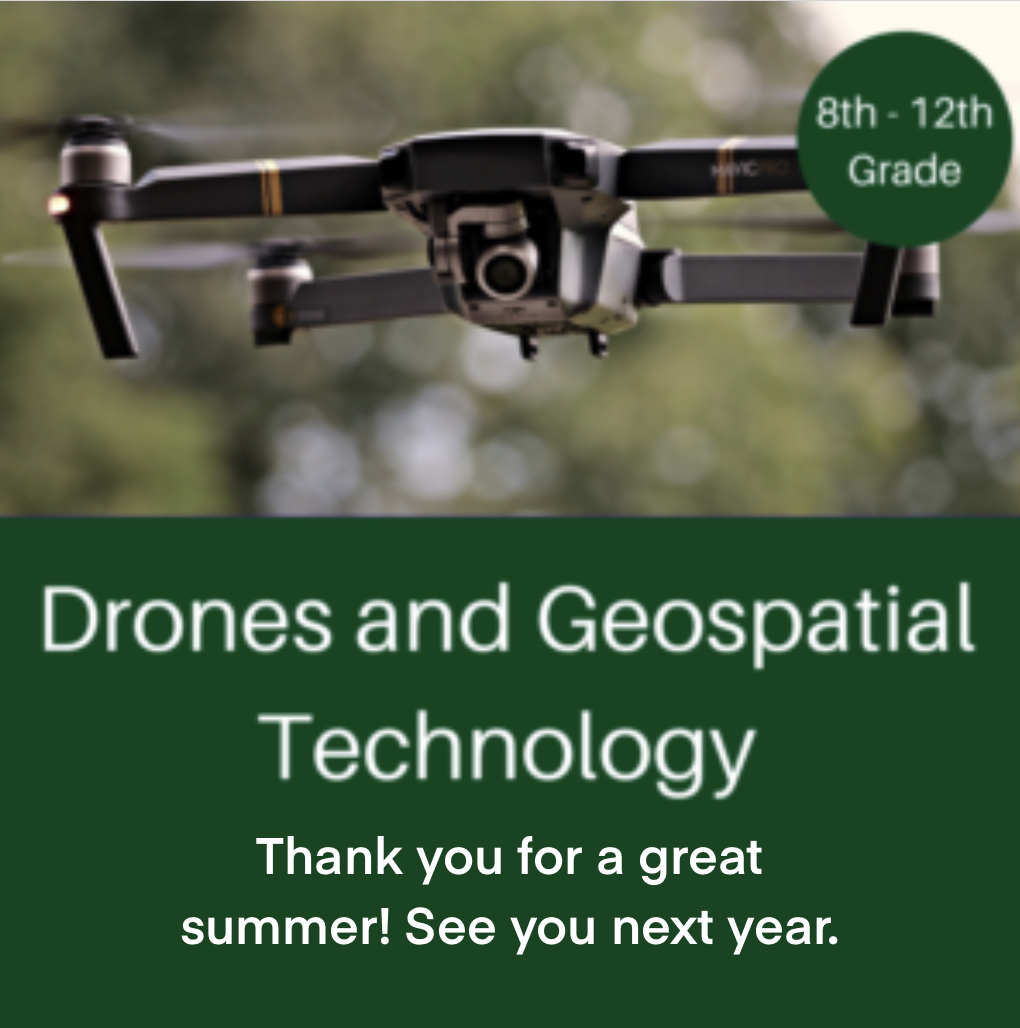
Unmanned Aerial Systems (UAS), often in the form of ‘drone’ aircraft, is a cutting-edge technology that has been a dramatic disruptor, both commercially and academically. In this course, the worlds of Geospatial Technology and UAS Technology collide to form an exciting experience where students will get practical exposure to a combination of several different applications. This program involves hands-on flying experience and exposure to many different UAS sensors, not just simple imagery. Participants will not only learn many of the applications of drone technology but will also get to keep their own drone.


